Vattakottai (or 'Circular Fort') is a seaside fort near Kanyakumari. It was built in the 18th century as a coastal defence-fortification in the Travancore kingdom.
It was constructed under the supervision of Captain Eustachius De Lannoy, an ex-Dutch naval officer of the Dutch East India Company, who became commander of the Travancore army (the very army that defeated him in the Battle of Colachel) in the 18th century, after he earned the trust of the Travancore King Marthanda Varma. De Lannoy constructed Vattakottai, as part of the defence-fortifications he undertook throughout Travancore.
The fort is made of granite blocks and, today, a part of the fort extends into the sea. It is a protected site under the Indian archaeological department.
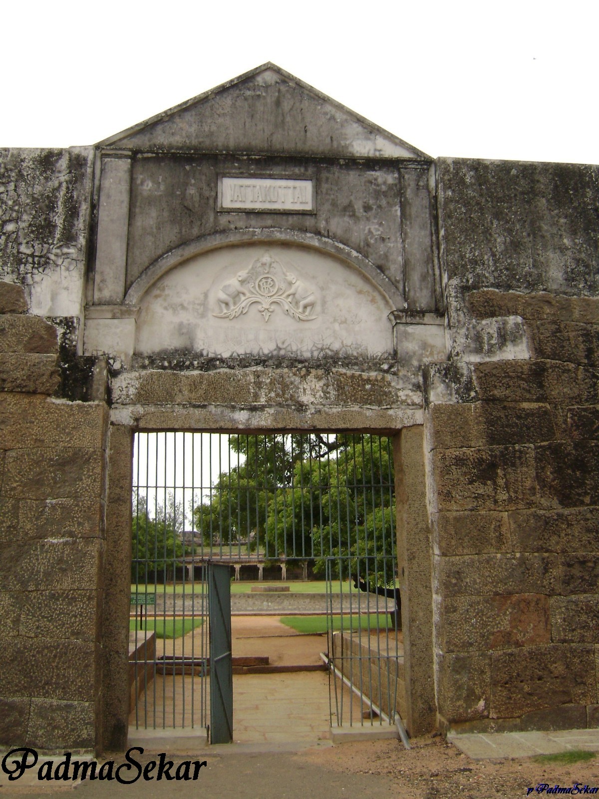
Entrance
We can see the emblem of CHERA kings in the entrance
Also can see a cannon ball placed on the ground...
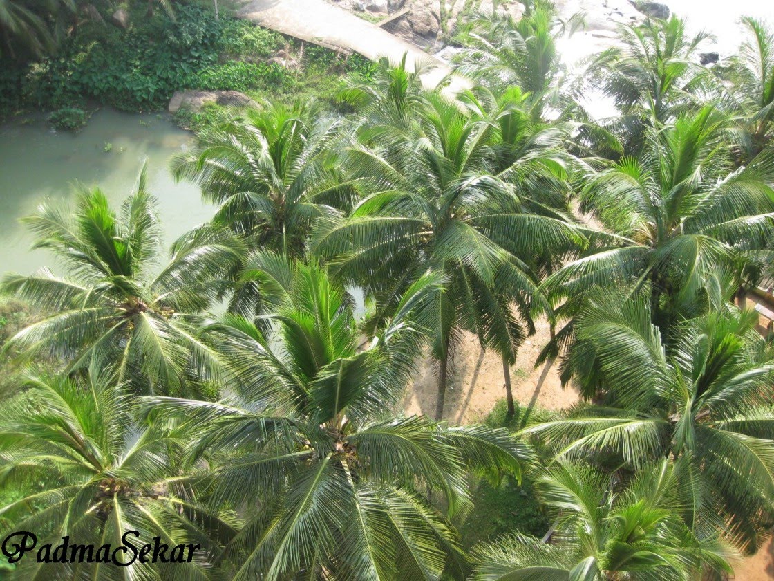
There is an arch in the front wall, set with a tiny square peephole. Through it we can have a wide view of coconut trees and hills ) . It is believed that, there's supposed to be a tunnel that runs from the fort to the palace to Padmanabapuram palace. But it caved in and has been closed for year.
Northern side of the Fort looks like a forest, Tourism department has to develop it clean
You can see the wind turbines and Koodankulam Nuclear plant at a farther distance in the northern side


